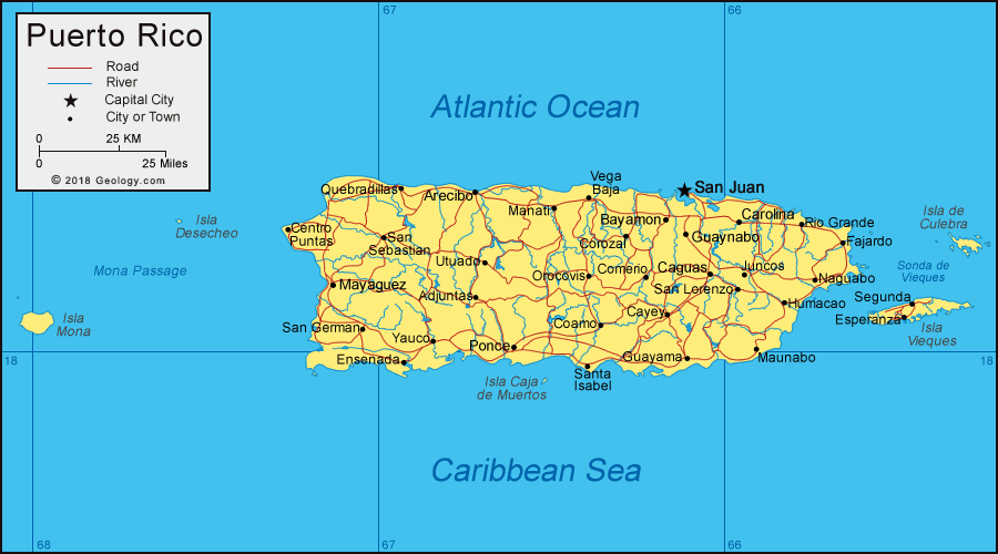
Puerto Rico
Puerto Rico, a territory of the United States, is a commonwealth located off the southeast corner of the United States in the Caribbean.
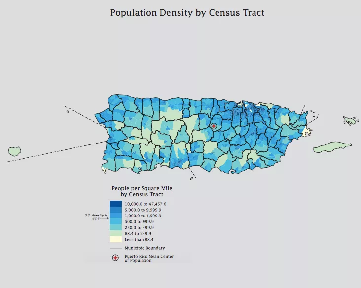
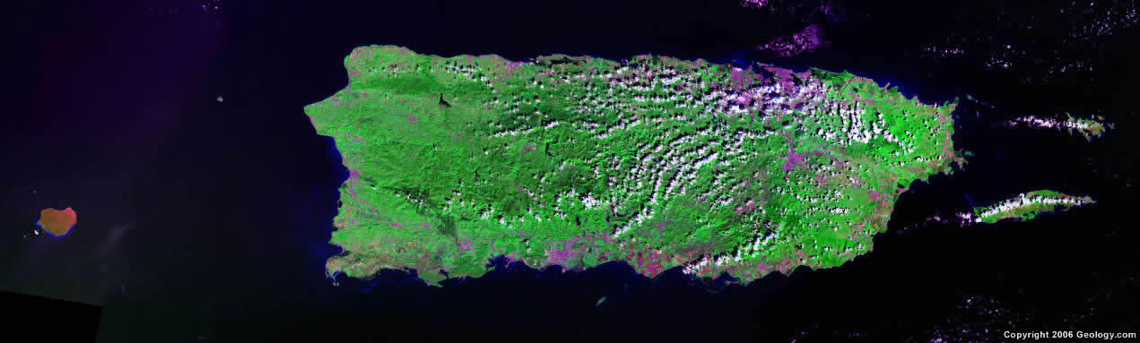
Geography – Puerto Rico has a diverse geography. Lowlands and beaches cover the northern and southern coasts. The Cordillera Central mountain range cuts through the center of the mainland. The urban areas are concentrated along the coasts, while the center of the island is more rural.
Population – As of 2018, the population of Puerto Rico decreased to 3.2 million people due to 132,000 people leaving after Hurricanes Maria and Irma struck the island in 2017 [1]. The capital city, San Juan, is the most populated city, with approximately 321,000 residents [2].
Politics – Puerto Rico has a government with elected representatives and three branches: legislative, executive, and judiciary. Power is separated by a system of checks and balances. Despite having its own constitution, Puerto Rico is subject to the sovereignty and jurisdiction of the U.S. and can have its policies overridden by the U.S. Constitution’s Supremacy Clause. Puerto Rico is divided into seventy-eight municipalities, each headed by a mayor and governed by a municipal legislature. The legislature oversees the mayor’s operations, holds public meetings, and enacts resolutions and ordinances in the municipality. The mayor and the legislature are both elected by the citizens of the municipality.
Hurricanes – Over time, hurricanes have increased in strength and frequency due to sea level rise and temperature changes. Hurricanes are generally worse in areas near the equator due to hot and humid air. Thus, Puerto Rico, which is located within this region, is susceptible to stronger hurricanes.
Hurricane Maria
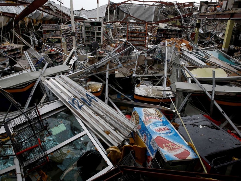
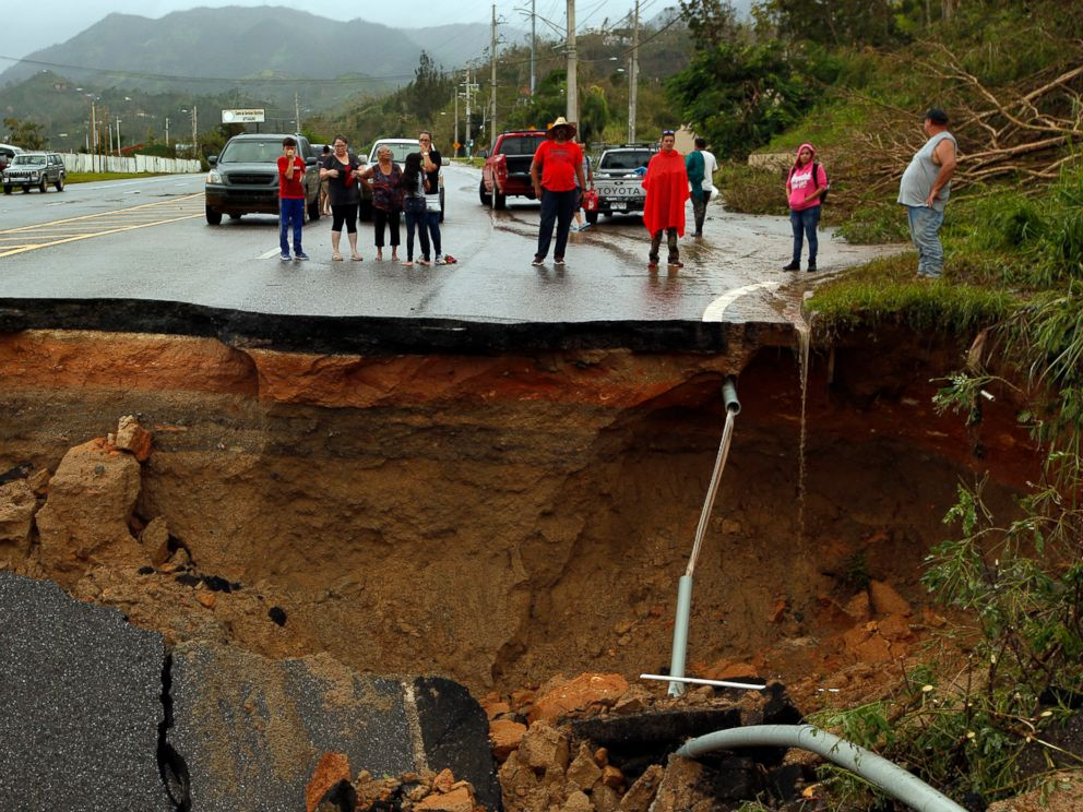
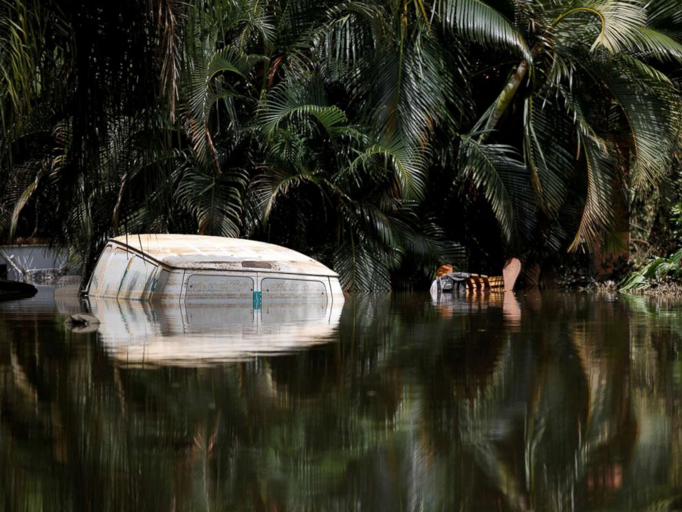
Hurricane Maria made landfall in Puerto Rico on September 20, 2017. This Category 4 hurricane was the worst storm to hit Puerto Rico in over eighty years. Wind speeds of up to 155 mph caused nearly $100 billion in damage. Roads, homes, bridges, and vegetation were completely destroyed. This lack of vegetation, combined with excessive rain, triggered a series of landslides that caused more damage to the land and existing structures. Residents experienced an island-wide power outage, where 100% of people lost power. They also experienced a communications blackout, where nearly every cell tower, radio station, and television station was out of order. Nearly one year after the storm, the death toll was reported to be 2,975, which is more than Hurricanes Katrina, Irma, and Harvey combined.

Hurricane Irma
Hurricane Irma swept by Puerto Rico on September 6, 2017, two weeks before Hurricane Maria. It was a Category 5 storm with 185 mph winds, one of the strongest to ever pass the island. Despite never directly hitting the island, Hurricane Irma left 1 million people in Puerto Rico without power and did nearly $50 billion worth of damage. Even though Maria was rated weaker than Irma, it caused further major devastation to the island, which was in a weakened state after Irma.